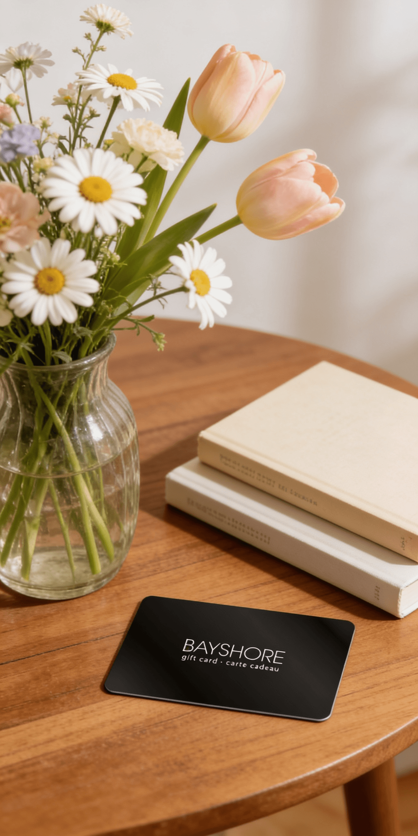
Too many options? Treat your friends and family to their favourite stores with a Bayshore Shopping Centre gift card, redeemable at participating retailers throughout the centre. Click below to purchase yours today!Purchase Here
Coles A Cruising Guide to the Southern Bahamas at Bayshore Shopping Centre in Ottawa, ON
*Product information may vary - to confirm product availability, pricing, shipping and return information please contact Coles
A Cruising Guide to The Southern Bahamas: from Cat Island south to the Turks & Caicos, including the Dominican Republic north coast, details the waters around Cat and Conception Islands, Rum Cay, San Salvador, Long Island, the Jumentos & Ragged Island, Crooked/Acklins, Mayaguana, Inagua, the Turks and Caicos as well as Dominican Republic North Coast Ports. With full-color aerial harbor photos and 100+ full-color sketch charts, it contains extremely accurate hydrographic data based on personally conducted independent surveys by the author. Southern Bahamas, Vol 2 also includes extensive navigational instructions, GPS waypoints, approaches and routes, anchorages, services, dive sites, history, basic information for cruising in the Bahamas, extensive appendices, index, bibliography and more. Features New Completely Updated Pavlidis Guide! New Full-color Aerial Photos All Original Charts Based on Personal Surveys Conducted by the Author Extensive Navigational Instructions, and GPS Waypoints Coverage Area: Cat Island Conception Island Rum Cay San Salvador Long Island Inagua Mayaguana Turks & Caicos The Crooked Islands District The Jumentos and Ragged Island Dominican Republic North Coast Ports
A Cruising Guide to The Southern Bahamas: from Cat Island south to the Turks & Caicos, including the Dominican Republic north coast, details the waters around Cat and Conception Islands, Rum Cay, San Salvador, Long Island, the Jumentos & Ragged Island, Crooked/Acklins, Mayaguana, Inagua, the Turks and Caicos as well as Dominican Republic North Coast Ports. With full-color aerial harbor photos and 100+ full-color sketch charts, it contains extremely accurate hydrographic data based on personally conducted independent surveys by the author. Southern Bahamas, Vol 2 also includes extensive navigational instructions, GPS waypoints, approaches and routes, anchorages, services, dive sites, history, basic information for cruising in the Bahamas, extensive appendices, index, bibliography and more. Features New Completely Updated Pavlidis Guide! New Full-color Aerial Photos All Original Charts Based on Personal Surveys Conducted by the Author Extensive Navigational Instructions, and GPS Waypoints Coverage Area: Cat Island Conception Island Rum Cay San Salvador Long Island Inagua Mayaguana Turks & Caicos The Crooked Islands District The Jumentos and Ragged Island Dominican Republic North Coast Ports
Coles is renowned for its outstanding customer service and great selection of books. Along with the vast array of magazines, stationary, audio-books, children's literature, fiction, non-fiction and reference books, you can find accessories to make your reading experience more pleasurable. We can recommend the very best in reading today. We will help you search our titles for exactly what you need, and if we do not have it in stock, we will order it for you.