Give the Gift of Choice!
Too many options? Treat your friends and family to their favourite stores with a Bayshore Shopping Centre gift card, redeemable at participating retailers throughout the centre. Click below to purchase yours today!Purchase HereHome
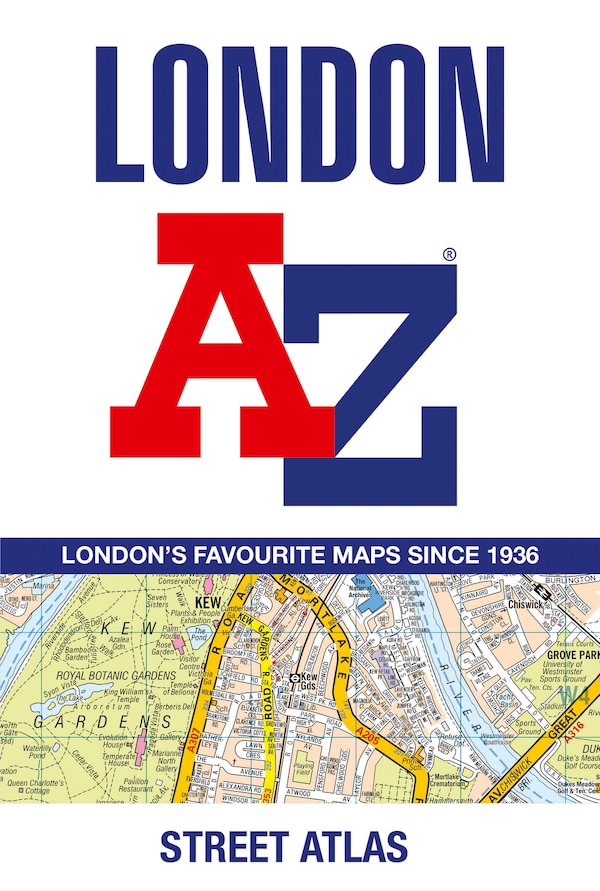
A-Z Master Atlas of Greater London: Detailed and accurate iconic street map of London by A-z Maps, Perfect | Indigo Chapters
Coles
Loading Inventory...
A-Z Master Atlas of Greater London: Detailed and accurate iconic street map of London by A-z Maps, Perfect | Indigo Chapters in Ottawa, ON
From A-z Maps
Current price: $39.99
From A-z Maps
A-Z Master Atlas of Greater London: Detailed and accurate iconic street map of London by A-z Maps, Perfect | Indigo Chapters in Ottawa, ON
Current price: $39.99
Loading Inventory...
Size: 22 x 297 x 1440
*Product information may vary - to confirm product availability, pricing, shipping and return information please contact Coles
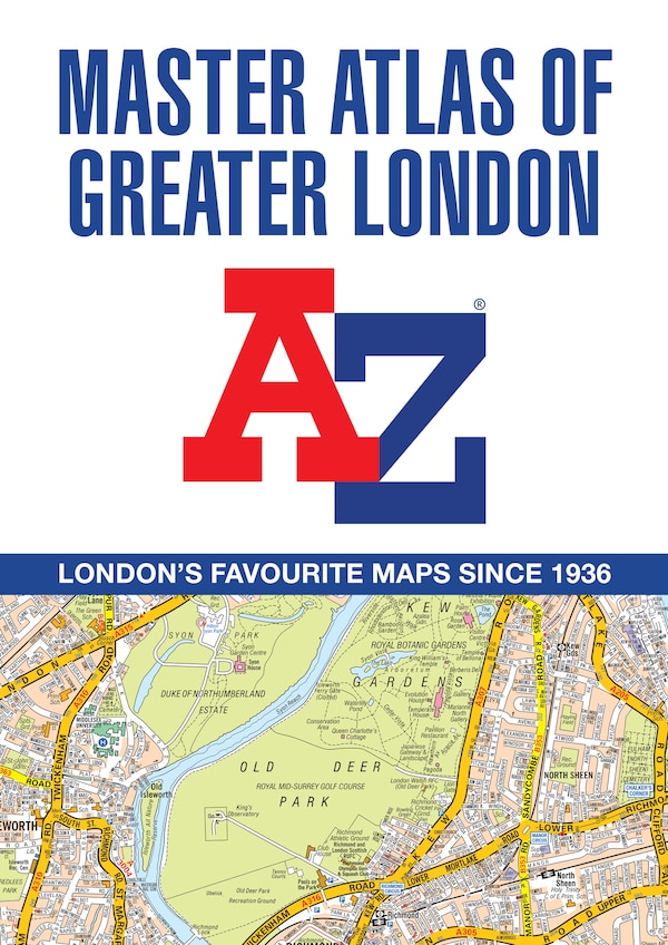
The ultimate street atlas to navigate your way around London. This comprehensive, paperback atlas encompasses an area of 1, 450 square miles, including more than 90, 000 streets and other addresses, and is trusted by local authorities, taxi drivers and emergency services. The coverage extends beyond the Greater London and M25 area to: Hemel Hempstead, St. Albans, Potters Bar, Waltham Cross, Epping, Brentwood, Thurrock, Stanford-le-Hope, Gravesend, Wrotham, Sevenoaks, Westerham, Oxted, Redhill, Reigate, Leatherhead, Great Bookham, Woking, Egham, Windsor, Slough, Chalfont St. Peter, Chorleywood, BovingdonThere are eighteen pages of large scale (9 to 1 mile) street mapping of central London which gives additional clarity and detail, this mapping extends to: Regent's Park, St. Pancras International Station, Old Street, Tower Bridge, Bricklayer's Arms Junction, Vauxhall Bridge, South Kensington, Paddington Station and Lord's Cricket Ground. Postcode districts and one-way streets are included on the street mapping. Other features include:The Congestion Charging Zone (CCZ) boundary which is shown on both scales of mapping and an overview map of the zone is also includedThe Greater London Low Emission Zone boundary is shown on the street mapping and an overview map of the zone is also includedThe Ultra Low Emission Zone (ULEZ) boundaryThere are eight pages of road mapping at 3 miles to 1 inch that cover much of the Home Counties areaLondon Underground mapLondon Rail Connections mapWest End Cinema and Theatre mapsThe index section of the atlas includes streets, places & areas, hospitals, industrial estates, selected flats & walkways, service areas, stations and selected places of interest. Please note hospitals and rail stations are now listed in the main index and highlighted in different colour. They are not included as a separate list as in previous editions. | A-Z Master Atlas of Greater London: Detailed and accurate iconic street map of London by A-z Maps, Perfect | Indigo Chapters
The ultimate street atlas to navigate your way around London. This comprehensive, paperback atlas encompasses an area of 1, 450 square miles, including more than 90, 000 streets and other addresses, and is trusted by local authorities, taxi drivers and emergency services. The coverage extends beyond the Greater London and M25 area to: Hemel Hempstead, St. Albans, Potters Bar, Waltham Cross, Epping, Brentwood, Thurrock, Stanford-le-Hope, Gravesend, Wrotham, Sevenoaks, Westerham, Oxted, Redhill, Reigate, Leatherhead, Great Bookham, Woking, Egham, Windsor, Slough, Chalfont St. Peter, Chorleywood, BovingdonThere are eighteen pages of large scale (9 to 1 mile) street mapping of central London which gives additional clarity and detail, this mapping extends to: Regent's Park, St. Pancras International Station, Old Street, Tower Bridge, Bricklayer's Arms Junction, Vauxhall Bridge, South Kensington, Paddington Station and Lord's Cricket Ground. Postcode districts and one-way streets are included on the street mapping. Other features include:The Congestion Charging Zone (CCZ) boundary which is shown on both scales of mapping and an overview map of the zone is also includedThe Greater London Low Emission Zone boundary is shown on the street mapping and an overview map of the zone is also includedThe Ultra Low Emission Zone (ULEZ) boundaryThere are eight pages of road mapping at 3 miles to 1 inch that cover much of the Home Counties areaLondon Underground mapLondon Rail Connections mapWest End Cinema and Theatre mapsThe index section of the atlas includes streets, places & areas, hospitals, industrial estates, selected flats & walkways, service areas, stations and selected places of interest. Please note hospitals and rail stations are now listed in the main index and highlighted in different colour. They are not included as a separate list as in previous editions. | A-Z Master Atlas of Greater London: Detailed and accurate iconic street map of London by A-z Maps, Perfect | Indigo Chapters