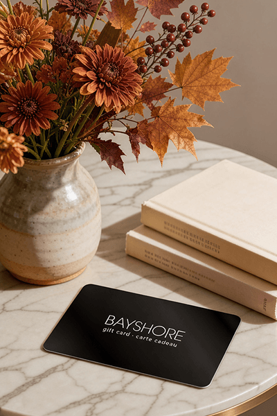
Too many options? Treat your friends and family to their favourite stores with a Bayshore Shopping Centre gift card, redeemable at participating retailers throughout the centre. Click below to purchase yours today!Purchase Here
Coles Advances in Remote Sensing of the Inland and Coastal Water Zones at Bayshore Shopping Centre in Ottawa, ON
*Product information may vary - to confirm product availability, pricing, shipping and return information please contact Coles
This book covers works related to research on the environments of coastal zones and inland waters, solving complex and current scientific problems in these areas. Tasks undertaken by the authors address current research trends using contemporary remote sensing techniques and cover various thematic areas or scientific approaches. Some works propose new possibilities of using geospatial data or methods of remote sensing data processing. They include issues related to the use of augmented and virtual reality, object-oriented image analysis, UAV-based photogrammetry, fusion of hydroacoustic and photogrammetric data, spatial interpolation, and geodata reduction techniques. These methods are being developed to support safe navigation in inland waters; low-cost monitoring of underwater objects; creating bathymetric maps and topobathymetric digital models or mapping submerged aquatic vegetation. The papers also focus on improving existing solutions and demonstrate new research approaches, including atmospheric correction, adjacency effects for remotely sensed images, classification of wetland vegetation, as well as determining the speed of sound in shallow waters for hydrography applications. These papers demonstrate the potential of the information contained in the remote sensing data acquired by the various platforms, as well as techniques for image processing based on the Google Earth Engine (GEE).
This book covers works related to research on the environments of coastal zones and inland waters, solving complex and current scientific problems in these areas. Tasks undertaken by the authors address current research trends using contemporary remote sensing techniques and cover various thematic areas or scientific approaches. Some works propose new possibilities of using geospatial data or methods of remote sensing data processing. They include issues related to the use of augmented and virtual reality, object-oriented image analysis, UAV-based photogrammetry, fusion of hydroacoustic and photogrammetric data, spatial interpolation, and geodata reduction techniques. These methods are being developed to support safe navigation in inland waters; low-cost monitoring of underwater objects; creating bathymetric maps and topobathymetric digital models or mapping submerged aquatic vegetation. The papers also focus on improving existing solutions and demonstrate new research approaches, including atmospheric correction, adjacency effects for remotely sensed images, classification of wetland vegetation, as well as determining the speed of sound in shallow waters for hydrography applications. These papers demonstrate the potential of the information contained in the remote sensing data acquired by the various platforms, as well as techniques for image processing based on the Google Earth Engine (GEE).
Coles is renowned for its outstanding customer service and great selection of books. Along with the vast array of magazines, stationary, audio-books, children's literature, fiction, non-fiction and reference books, you can find accessories to make your reading experience more pleasurable. We can recommend the very best in reading today. We will help you search our titles for exactly what you need, and if we do not have it in stock, we will order it for you.