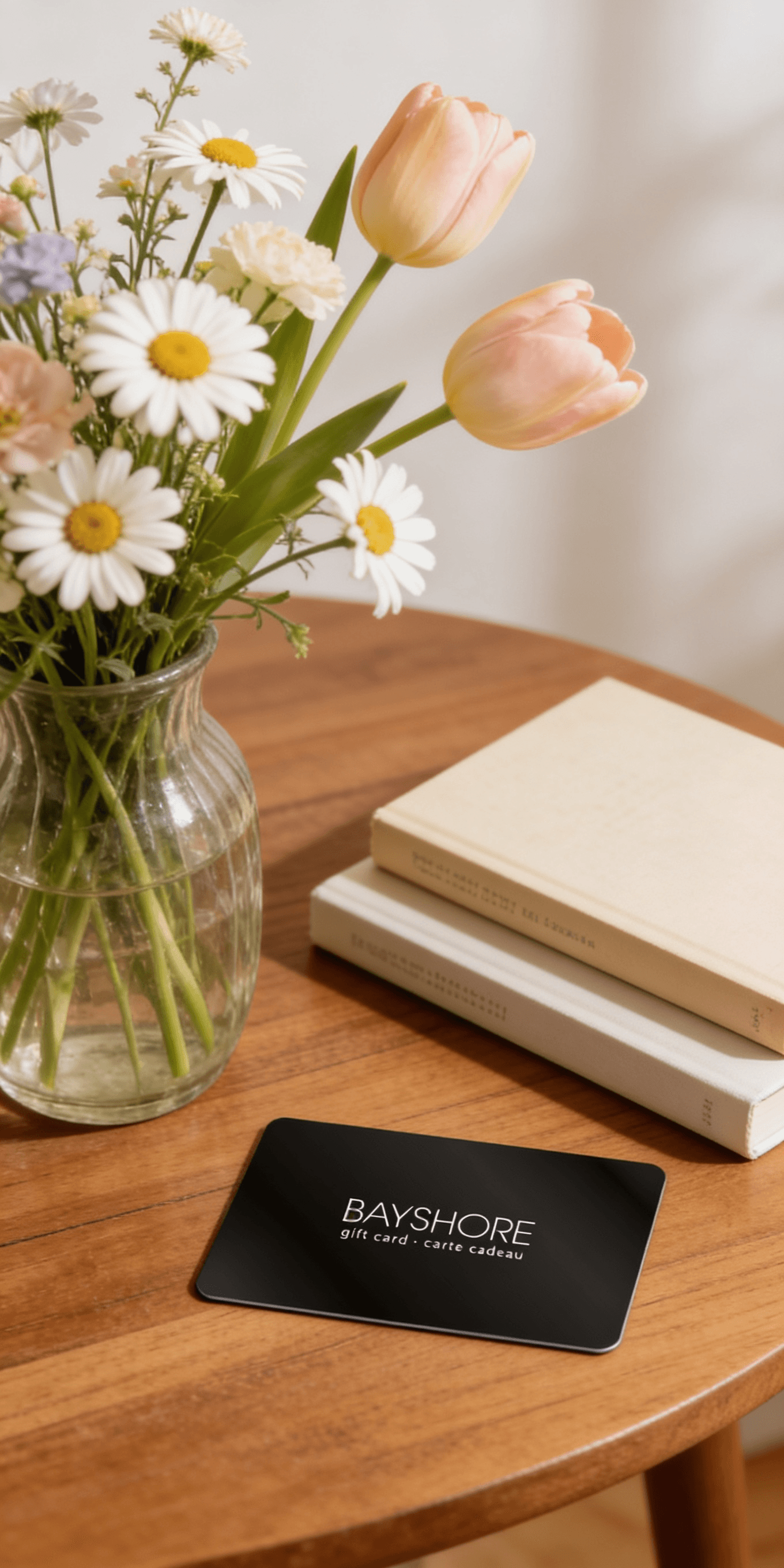
Too many options? Treat your friends and family to their favourite stores with a Bayshore Shopping Centre gift card, redeemable at participating retailers throughout the centre. Click below to purchase yours today!Purchase Here
Coles Atlas of Land and Freshwater Molluscs of Britain and Ireland at Bayshore Shopping Centre in Ottawa, ON
*Product information may vary - to confirm product availability, pricing, shipping and return information please contact Coles
Published in association with the Conchological Society of Great Britain and Ireland, this atlas is the culmination of nearly forty years’ work by its members in almost every corner of the British Isles, resulting in an impressively thorough coverage based on the 10km square.
The Introduction includes Early History of Recording; The Mapping Scheme; Factors Influencing Distribution; History of the British Fauna; and the Future. The dot-distribution maps, generated in 1998 by the Biological Records Centre, ITE, Monks Wood, cover all species, whether native or introduced and naturalized, and are accompanied by notes on their habitat, history (including fossil occurrence), British status and overseas distribution, and include a small black-and-white illustration of each species. A select Bibliography; six maps illustrating relevant environmental factors; Localities mentioned in the text with their grid references; List of Recorders; and an Index complete the work.
Published in association with the Conchological Society of Great Britain and Ireland, this atlas is the culmination of nearly forty years’ work by its members in almost every corner of the British Isles, resulting in an impressively thorough coverage based on the 10km square.
The Introduction includes Early History of Recording; The Mapping Scheme; Factors Influencing Distribution; History of the British Fauna; and the Future. The dot-distribution maps, generated in 1998 by the Biological Records Centre, ITE, Monks Wood, cover all species, whether native or introduced and naturalized, and are accompanied by notes on their habitat, history (including fossil occurrence), British status and overseas distribution, and include a small black-and-white illustration of each species. A select Bibliography; six maps illustrating relevant environmental factors; Localities mentioned in the text with their grid references; List of Recorders; and an Index complete the work.
Coles is renowned for its outstanding customer service and great selection of books. Along with the vast array of magazines, stationary, audio-books, children's literature, fiction, non-fiction and reference books, you can find accessories to make your reading experience more pleasurable. We can recommend the very best in reading today. We will help you search our titles for exactly what you need, and if we do not have it in stock, we will order it for you.