

Give the Gift of Choice!
Too many options? Treat your friends and family to their favourite stores with a Bayshore Shopping Centre gift card, redeemable at participating retailers throughout the centre. Click below to purchase yours today!Purchase HereHome
Basic and Advanced Map Interpretation for Structural Geologists
Coles
Loading Inventory...
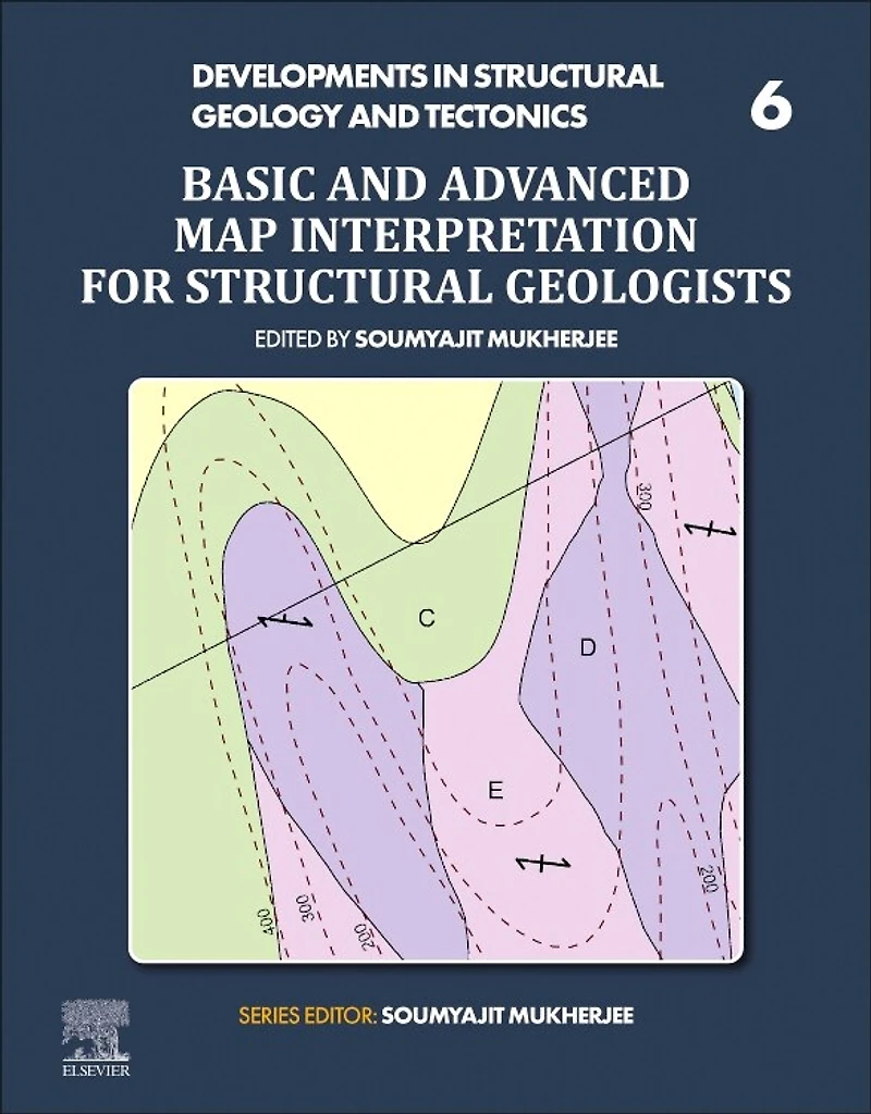
Basic and Advanced Map Interpretation for Structural Geologists in Ottawa, ON
Current price: $222.50

Basic and Advanced Map Interpretation for Structural Geologists in Ottawa, ON
Current price: $222.50
Loading Inventory...
Size: Paperback
*Product information may vary - to confirm product availability, pricing, shipping and return information please contact Coles
Basic and Advanced Map Interpretation for Structural Geologists, First Edition provides a highly visual manual with many maps and solutions. Covering rotational faults, listric faults, superposed folds, and other advanced geological formations, along with multicomponent formations that are the most difficult to interpret, this book guides those who use maps to see two-dimensional geological features in a three-dimensional space. It includes 21st century mapping capabilities such as LIDAR to provide problems and solutions for interpreting a variety of maps that are available but need specific skills to interpret. This will be a valuable resource for any students, academics, researchers or professionals who work with complex level maps that will help them understand how to interpret a variety of structural formations and especially multicomponent formations.
Presents a thorough guide on the interpretation of maps
Includes difficult maps involving superposed folds, rotational faults, listric faults and multi-component maps
Presents a self-learning guide of both problems and solutions, with no external instruction required
Basic and Advanced Map Interpretation for Structural Geologists, First Edition provides a highly visual manual with many maps and solutions. Covering rotational faults, listric faults, superposed folds, and other advanced geological formations, along with multicomponent formations that are the most difficult to interpret, this book guides those who use maps to see two-dimensional geological features in a three-dimensional space. It includes 21st century mapping capabilities such as LIDAR to provide problems and solutions for interpreting a variety of maps that are available but need specific skills to interpret. This will be a valuable resource for any students, academics, researchers or professionals who work with complex level maps that will help them understand how to interpret a variety of structural formations and especially multicomponent formations.
Presents a thorough guide on the interpretation of maps
Includes difficult maps involving superposed folds, rotational faults, listric faults and multi-component maps
Presents a self-learning guide of both problems and solutions, with no external instruction required
You May Also Like






More About Coles at Bayshore Shopping Centre
Coles is renowned for its outstanding customer service and great selection of books. Along with the vast array of magazines, stationary, audio-books, children's literature, fiction, non-fiction and reference books, you can find accessories to make your reading experience more pleasurable. We can recommend the very best in reading today. We will help you search our titles for exactly what you need, and if we do not have it in stock, we will order it for you.
100 Bayshore Dr, Nepean, ON K2B 8C1, Canada
Find Coles at Bayshore Shopping Centre in Ottawa, ON
Visit Coles at Bayshore Shopping Centre in Ottawa, ON