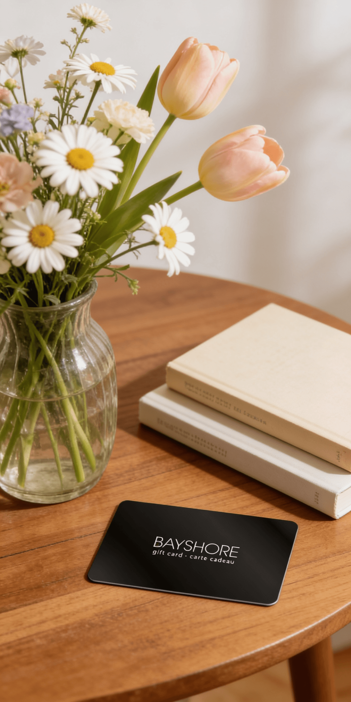
Too many options? Treat your friends and family to their favourite stores with a Bayshore Shopping Centre gift card, redeemable at participating retailers throughout the centre. Click below to purchase yours today!Purchase Here
*Product information may vary - to confirm product availability, pricing, shipping and return information please contact Coles
Navigating with a compass and map is an essential skill for many incident positions. Even with new technology, such as Global Positioning System (GPS) receivers, map and compass skills are still needed. Confidence with navigation skills comes with practice and proficiency. This confidence level often impacts how a person performs during a crisis - which can result in life or death decisions. Basic Land Navigation is an introduction to land navigation. It begins with a general overview of maps. Then it specifically addresses how to read topographic maps. Next it covers various types of geographic location systems, such as latitude/longitude and Universal Transverse Mercator (UTM). This is followed by basic instructions on using a compass and clinometer. Then a general overview of the Global Positioning System is presented.
Navigating with a compass and map is an essential skill for many incident positions. Even with new technology, such as Global Positioning System (GPS) receivers, map and compass skills are still needed. Confidence with navigation skills comes with practice and proficiency. This confidence level often impacts how a person performs during a crisis - which can result in life or death decisions. Basic Land Navigation is an introduction to land navigation. It begins with a general overview of maps. Then it specifically addresses how to read topographic maps. Next it covers various types of geographic location systems, such as latitude/longitude and Universal Transverse Mercator (UTM). This is followed by basic instructions on using a compass and clinometer. Then a general overview of the Global Positioning System is presented.
Coles is renowned for its outstanding customer service and great selection of books. Along with the vast array of magazines, stationary, audio-books, children's literature, fiction, non-fiction and reference books, you can find accessories to make your reading experience more pleasurable. We can recommend the very best in reading today. We will help you search our titles for exactly what you need, and if we do not have it in stock, we will order it for you.