Give the Gift of Choice!
Too many options? Treat your friends and family to their favourite stores with a Bayshore Shopping Centre gift card, redeemable at participating retailers throughout the centre. Click below to purchase yours today!Purchase HereHome
Big London A-Z Street Atlas by A-Z Maps, Spiral Bound | Indigo Chapters
Coles
Loading Inventory...

Big London A-Z Street Atlas by A-Z Maps, Spiral Bound | Indigo Chapters in Ottawa, ON
By A-Z Maps
Current price: $22.99

By A-Z Maps
Big London A-Z Street Atlas by A-Z Maps, Spiral Bound | Indigo Chapters in Ottawa, ON
Current price: $22.99
Loading Inventory...
Size: 18 x 285 x 840
*Product information may vary - to confirm product availability, pricing, shipping and return information please contact Coles
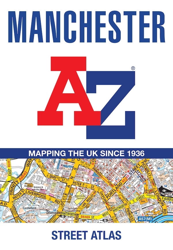
Navigate your way around London with this detailed, easy-to-use and up-to-date A-Z Street Atlas. Large scale A-Z street mapping of London. This A4 street atlas offers the perfect combination of coverage and clarity, the area covered ranges from Heathrow Airport all the way to Chingford at a scale of 4.25 inches to 1 mile (6.71 cm to 1 km), while a detailed map of Central London is at a larger scale of 8.5 inches to 1 mile (13.42 cm to 1 km).The mapping features transport connections, places of interest, public buildings, postcode districts, one-way streets, Congestion and Low Emission ZonesThis comprehensive street atlas of London also includes:• An overview map of the Congestion Charging Zone, and the Ultra Low and Low Emission Zones• West End Theatre and Cinema maps• The London Rail & Tube Services MapA comprehensive index lists streets, selected flats, walkways and places of interest, place, area and junction names. Additional healthcare (hospitals, walk-in centres and hospices) and transport (National Rail, London Tramlink, Docklands Light Railway, London Underground and Overground stations, and River Bus pier) are indexed as well. | Big London A-Z Street Atlas by A-Z Maps, Spiral Bound | Indigo Chapters
Navigate your way around London with this detailed, easy-to-use and up-to-date A-Z Street Atlas. Large scale A-Z street mapping of London. This A4 street atlas offers the perfect combination of coverage and clarity, the area covered ranges from Heathrow Airport all the way to Chingford at a scale of 4.25 inches to 1 mile (6.71 cm to 1 km), while a detailed map of Central London is at a larger scale of 8.5 inches to 1 mile (13.42 cm to 1 km).The mapping features transport connections, places of interest, public buildings, postcode districts, one-way streets, Congestion and Low Emission ZonesThis comprehensive street atlas of London also includes:• An overview map of the Congestion Charging Zone, and the Ultra Low and Low Emission Zones• West End Theatre and Cinema maps• The London Rail & Tube Services MapA comprehensive index lists streets, selected flats, walkways and places of interest, place, area and junction names. Additional healthcare (hospitals, walk-in centres and hospices) and transport (National Rail, London Tramlink, Docklands Light Railway, London Underground and Overground stations, and River Bus pier) are indexed as well. | Big London A-Z Street Atlas by A-Z Maps, Spiral Bound | Indigo Chapters