Give the Gift of Choice!
Too many options? Treat your friends and family to their favourite stores with a Bayshore Shopping Centre gift card, redeemable at participating retailers throughout the centre. Click below to purchase yours today!Purchase HereHome
Birmingham A-Z Street Atlas by A-Z Maps, Perfect | Indigo Chapters
Coles
Loading Inventory...
Birmingham A-Z Street Atlas by A-Z Maps, Perfect | Indigo Chapters in Ottawa, ON
By A-Z Maps
Current price: $17.99

By A-Z Maps
Birmingham A-Z Street Atlas by A-Z Maps, Perfect | Indigo Chapters in Ottawa, ON
Current price: $17.99
Loading Inventory...
Size: 9 x 215 x 200
*Product information may vary - to confirm product availability, pricing, shipping and return information please contact Coles
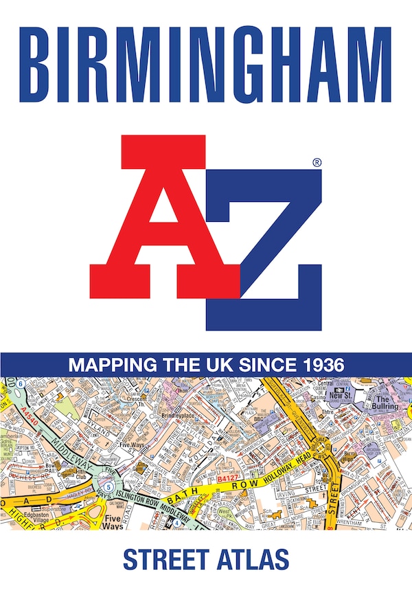
Navigate your way around Birmingham with this detailed and easy-to-use A-Z Street Atlas. Printed in full-colour, paperback format, this atlas contains 96 pages of continuous street mapping. Coverage extends to include: Wednesbury, Coleshill, Knowle, Alvechurch, Rubery, Smethick, and West Bromwich. There are large scale city centre maps of Birmingham and Wolverhampton and a West Midlands rail and Midland Metro transport connections map. Postcode districts and one-way streets are featured on the mapping. The index section lists streets; selected flats, walkways and places of interest; place and area names; National Rail and Midland Metro stations; hospitals, NHS Walk-in Centres and hospices. | Birmingham A-Z Street Atlas by A-Z Maps, Perfect | Indigo Chapters
Navigate your way around Birmingham with this detailed and easy-to-use A-Z Street Atlas. Printed in full-colour, paperback format, this atlas contains 96 pages of continuous street mapping. Coverage extends to include: Wednesbury, Coleshill, Knowle, Alvechurch, Rubery, Smethick, and West Bromwich. There are large scale city centre maps of Birmingham and Wolverhampton and a West Midlands rail and Midland Metro transport connections map. Postcode districts and one-way streets are featured on the mapping. The index section lists streets; selected flats, walkways and places of interest; place and area names; National Rail and Midland Metro stations; hospitals, NHS Walk-in Centres and hospices. | Birmingham A-Z Street Atlas by A-Z Maps, Perfect | Indigo Chapters