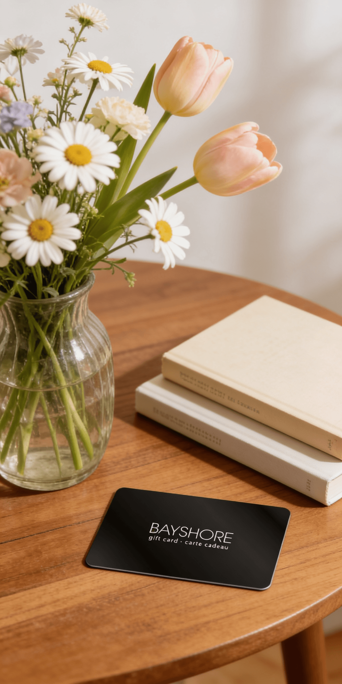
Too many options? Treat your friends and family to their favourite stores with a Bayshore Shopping Centre gift card, redeemable at participating retailers throughout the centre. Click below to purchase yours today!Purchase Here
Coles Collins Road Map of Ireland 2027 (Folded map): Clear, easy-to-read mapping at Bayshore Shopping Centre in Ottawa, ON
*Product information may vary - to confirm product availability, pricing, shipping and return information please contact Coles
Explore Ireland with easy-to-read mapping from Collins.
Full-colour map of Ireland at 9 miles to 1 inch (1:570,240), with clear, detailed road network and counties and new administrative areas shown in colour. This double-sided map covers the whole of Ireland, and is ideal for reference or route planning.
This map of Ireland shows the road network in detail. It is ideal for business users, with colouring of local council areas, but it is also perfect for tourists as a route planning map.
Main features include:
Fully updated
New administrative areas shown in colour
Clear, detailed road network
Town and city names, rivers, lakes, spot heights, railway lines and canals are clearly shown
City/town centre street plans of Belfast, Cork, Dublin, Dún Laoghaire, Galway, Limerick, Londonderry/Derry and Waterford showing places of interest
Full index to place names
Mileage chart
Car ferry routes
Key in English, French and German
Area of coverage
Covers the whole of the Republic of Ireland and Northern Ireland
Explore Ireland with easy-to-read mapping from Collins.
Full-colour map of Ireland at 9 miles to 1 inch (1:570,240), with clear, detailed road network and counties and new administrative areas shown in colour. This double-sided map covers the whole of Ireland, and is ideal for reference or route planning.
This map of Ireland shows the road network in detail. It is ideal for business users, with colouring of local council areas, but it is also perfect for tourists as a route planning map.
Main features include:
Fully updated
New administrative areas shown in colour
Clear, detailed road network
Town and city names, rivers, lakes, spot heights, railway lines and canals are clearly shown
City/town centre street plans of Belfast, Cork, Dublin, Dún Laoghaire, Galway, Limerick, Londonderry/Derry and Waterford showing places of interest
Full index to place names
Mileage chart
Car ferry routes
Key in English, French and German
Area of coverage
Covers the whole of the Republic of Ireland and Northern Ireland
Coles is renowned for its outstanding customer service and great selection of books. Along with the vast array of magazines, stationary, audio-books, children's literature, fiction, non-fiction and reference books, you can find accessories to make your reading experience more pleasurable. We can recommend the very best in reading today. We will help you search our titles for exactly what you need, and if we do not have it in stock, we will order it for you.