Give the Gift of Choice!
Too many options? Treat your friends and family to their favourite stores with a Bayshore Shopping Centre gift card, redeemable at participating retailers throughout the centre. Click below to purchase yours today!Purchase HereHome
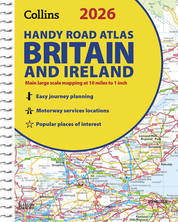
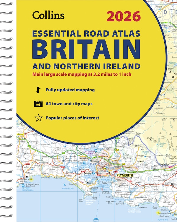
Comprehensive Road Atlas Ireland by Collins Maps, Spiral Bound | Indigo Chapters
Coles
Loading Inventory...
Comprehensive Road Atlas Ireland by Collins Maps, Spiral Bound | Indigo Chapters in Ottawa, ON
From Collins Maps
Current price: $17.99
From Collins Maps
Comprehensive Road Atlas Ireland by Collins Maps, Spiral Bound | Indigo Chapters in Ottawa, ON
Current price: $17.99
Loading Inventory...
Size: 8 x 297 x 500
*Product information may vary - to confirm product availability, pricing, shipping and return information please contact Coles
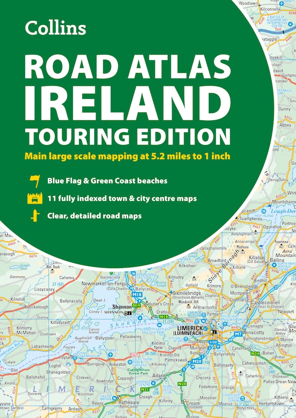
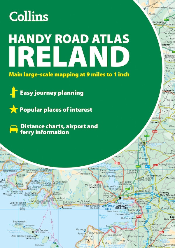
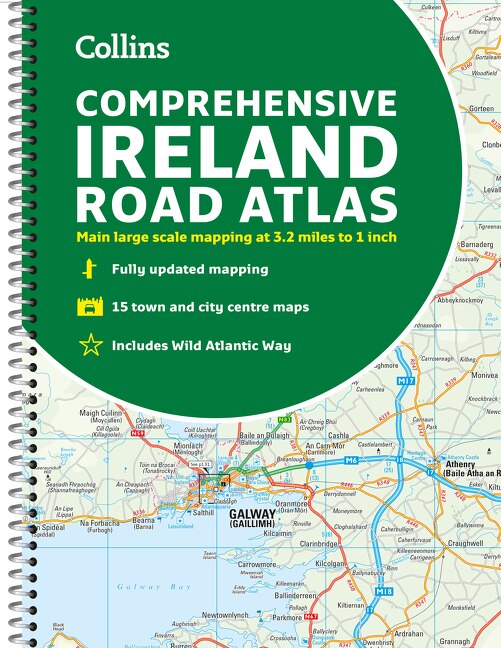
Clear, detailed road atlas of Ireland in a handy A4 spiral-bound format. This comprehensive, general purpose road atlas is ideal for both business and pleasure. Highlights include:Clear mapping at a scale of 3.2 miles to 1 inch, which is useful for navigationAn additional 9 miles to 1 inch route planning mapPlaces of interest section with information and photographsA range of fully indexed town and city centre maps, including: Bangor, Belfast, Cork, Dublin, Limerick, Lisburn, Londonderry (Derry) and NewtownabbeyThis updated edition boasts road mapping packed with detail. There is a colour classified road network that also shows toll roads. Blue Flag and Green Coast beaches are shown along with tourist information centres and a wide range of tourist attractions. There is also comprehensive information for visitors to Belfast, Cork, Dublin and Limerick. The perfect companion for anyone visiting Ireland. | Comprehensive Road Atlas Ireland by Collins Maps, Spiral Bound | Indigo Chapters
Clear, detailed road atlas of Ireland in a handy A4 spiral-bound format. This comprehensive, general purpose road atlas is ideal for both business and pleasure. Highlights include:Clear mapping at a scale of 3.2 miles to 1 inch, which is useful for navigationAn additional 9 miles to 1 inch route planning mapPlaces of interest section with information and photographsA range of fully indexed town and city centre maps, including: Bangor, Belfast, Cork, Dublin, Limerick, Lisburn, Londonderry (Derry) and NewtownabbeyThis updated edition boasts road mapping packed with detail. There is a colour classified road network that also shows toll roads. Blue Flag and Green Coast beaches are shown along with tourist information centres and a wide range of tourist attractions. There is also comprehensive information for visitors to Belfast, Cork, Dublin and Limerick. The perfect companion for anyone visiting Ireland. | Comprehensive Road Atlas Ireland by Collins Maps, Spiral Bound | Indigo Chapters