Give the Gift of Choice!
Too many options? Treat your friends and family to their favourite stores with a Bayshore Shopping Centre gift card, redeemable at participating retailers throughout the centre. Click below to purchase yours today!Purchase HereHome
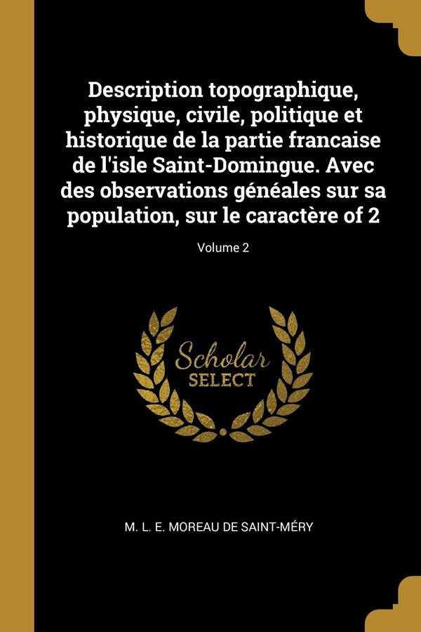
Description topographique physique civile politique et historique de la partie francaise de l'isle Saint-Domingue. Avec des observations
Coles
Loading Inventory...
Description topographique physique civile politique et historique de la partie francaise de l'isle Saint-Domingue. Avec des observations in Ottawa, ON
From M L E Moreau de Saint-Méry
Current price: $39.71


From M L E Moreau de Saint-Méry
Description topographique physique civile politique et historique de la partie francaise de l'isle Saint-Domingue. Avec des observations in Ottawa, ON
Current price: $39.71
Loading Inventory...
Size: 1.73 x 9.21 x 2.64
*Product information may vary - to confirm product availability, pricing, shipping and return information please contact Coles
The 18th century was a wealth of knowledge, exploration and rapidly growing technology and expanding record-keeping made possible by advances in the printing press. In its determination to preserve the century of revolution, Gale initiated a revolution of its own: digitization of epic proportions to preserve these invaluable works in the largest archive of its kind. Now for the first time these high-quality digital copies of original 18th century manuscripts are available in print, making them highly accessible to libraries, undergraduate students, and independent scholars. Rich in titles on English life and social history, this collection spans the world as it was known to eighteenth-century historians and explorers. Titles include a wealth of travel accounts and diaries, histories of nations from throughout the world, and maps and charts of a world that was still being discovered. Students of the War of American Independence will find fascinating accounts from the British side of conflict. ++++The below data was compiled from various identification fields in the bibliographic record of this title. This data is provided as an additional tool in helping to insure edition identification: ++++British LibraryW030753Vol. 1: xix, 1], 788 p., 1] folded leaf of plates; v. 2, viii, 856 p., 1] folded leaf. Error in paging: v. 2, p. 549 misnumbered 459. Map drawn by I. Sonis and engraved by John Vallance. Errata notes: v. 1, p. xx]; v. 2, p. ii]. List of subscribeA Philadelphie: Et s'y trouve chez l'auteur, au coin de Front & de Callow-Hill Streets. A Paris, chez Dupont, libraire, rue de la Loi. Et Hambourg, chex les principaux libraires, 1797 -1798] 2 v.: 1 map; 4 | Description topographique physique civile politique et historique de la partie francaise de l'isle Saint-Domingue. Avec des observations
The 18th century was a wealth of knowledge, exploration and rapidly growing technology and expanding record-keeping made possible by advances in the printing press. In its determination to preserve the century of revolution, Gale initiated a revolution of its own: digitization of epic proportions to preserve these invaluable works in the largest archive of its kind. Now for the first time these high-quality digital copies of original 18th century manuscripts are available in print, making them highly accessible to libraries, undergraduate students, and independent scholars. Rich in titles on English life and social history, this collection spans the world as it was known to eighteenth-century historians and explorers. Titles include a wealth of travel accounts and diaries, histories of nations from throughout the world, and maps and charts of a world that was still being discovered. Students of the War of American Independence will find fascinating accounts from the British side of conflict. ++++The below data was compiled from various identification fields in the bibliographic record of this title. This data is provided as an additional tool in helping to insure edition identification: ++++British LibraryW030753Vol. 1: xix, 1], 788 p., 1] folded leaf of plates; v. 2, viii, 856 p., 1] folded leaf. Error in paging: v. 2, p. 549 misnumbered 459. Map drawn by I. Sonis and engraved by John Vallance. Errata notes: v. 1, p. xx]; v. 2, p. ii]. List of subscribeA Philadelphie: Et s'y trouve chez l'auteur, au coin de Front & de Callow-Hill Streets. A Paris, chez Dupont, libraire, rue de la Loi. Et Hambourg, chex les principaux libraires, 1797 -1798] 2 v.: 1 map; 4 | Description topographique physique civile politique et historique de la partie francaise de l'isle Saint-Domingue. Avec des observations


